IA · 19 July 2026 · 3 min read
AI Eyes from Space: Google-Backed FireSat Launches to Spot Wildfires Early
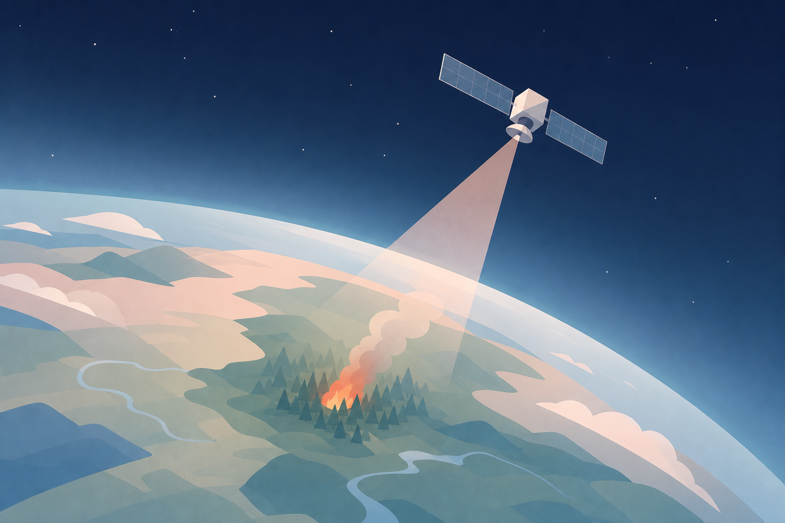
In brief: The first three operational satellites of the FireSat program have launched into orbit to revolutionize wildfire monitoring. Backed by Google and the Bezos Earth Fund, the system uses advanced sensors to detect fires as small as 5x5 meters through smoke, while Google Research AI models analyze images in real-time to trigger early warnings and fuel predictive models.
by Team Mocchi's
The Space Sentinel: Introducing the FireSat Program
As wildfire smoke once again sweeps across North America and the Mediterranean basin, Earth's orbit welcomes a powerful new technological ally. In July 2026, three operational microsatellites successfully launched aboard a SpaceX Falcon 9 rocket from Vandenberg Space Force Base in California. This launch marks the operational debut of the FireSat constellation, an international initiative managed by the non-profit Earth Fire Alliance and backed by Google (with a $15 million initial investment) and the Bezos Earth Fund (which contributed $26 million).
FireSat’s mission is highly ambitious: to build the world's first satellite network purpose-built for early wildfire detection. By identifying blazes while they are still small and manageable, the system aims to drastically cut emergency response times.
Cutting-Edge Tech: Multispectral Sensors and Micro-Detection
Traditional weather or geological satellites struggle to detect small wildfires, especially when they are obscured by heavy smoke. The FireSat constellation overcomes this limitation through specialized hardware developed by California-based satellite manufacturer Muon Space. Each microsatellite is equipped with highly sensitive multispectral imaging sensors designed to peer directly through smoke and clouds.
This technology allows the constellation to spot tiny fires measuring just 5 by 5 meters (about 16 by 16 feet). As reported by Ars Technica, the feasibility of this project was validated by a prototype satellite launched in 2025, which captured over one million images and proved its ability to identify low-intensity blazes that were completely invisible to existing orbital systems.
The Role of AI: From Historical Comparison to Predictive Modeling
However, the ultra-high-resolution data collected by Muon Space’s multispectral sensors is only the starting point. The real breakthrough lies in the software processing infrastructure. Google Research is deploying its advanced artificial intelligence models to analyze the incoming image streams in real time.
These computer vision models continuously compare new imagery with historical archives of the same geographic region. This enables the AI to instantly distinguish actual thermal anomalies (the start of a fire) from common false positives, such as solar glare on metallic surfaces, controlled industrial emissions, or sudden ground temperature spikes. Once a fire is validated, the AI combines thermal data with meteorological factors (wind speed, humidity) and terrain topography to fuel predictive models that estimate the speed and direction of the fire's spread.
From Daily Passes to Real-Time Monitoring
With the first three satellites active, FireSat has achieved "initial operational capability." During this initial phase, the constellation will cover every fire-prone region on Earth at least twice a day, providing vital data to "early adopter" fire agencies in historically vulnerable territories like California, Colorado, Australia, and Portugal.
The scaling roadmap plans for rapid expansion. By 2029, as more satellites join the fleet, image update frequency will drop to once an hour, eventually reaching a 20-minute refresh rate in the early 2030s with a full constellation of over 50 satellites. According to projections by the Earth Fire Alliance, hourly monitoring alone could save over $1 billion in fire damage costs and prevent approximately 22 million tons of carbon emissions.
Mocchi's Take
The launch of FireSat represents an extraordinary paradigm shift in the industrial application of artificial intelligence, offering a valuable lesson for businesses and public administrations in Italy and Europe. While public attention remains hyper-focused on Large Language Models, the real high-impact use cases lie at the intersection of computer vision, geospatial data processing, and custom hardware. For vulnerable landscapes like Italy, which face devastating summer wildfires and hydrogeological risks year after year, building custom software systems that orchestrate physical sensors (IoT or satellites) and predictive AI models is a strategic priority. The FireSat approach proves that automated data pipelines are no longer futuristic concepts, but essential tools for operational resilience and environmental preservation.